Survey Services
Our Services

-
A boundary survey to locate and/or reset the boundary corners on a lot or tract of land. We can also mark your boundary lines for planning and construction purposes.
Deliverables:
A survey map signed and certified by a State Licensed Surveyor.
Boundary corners and lines mark on site with wooden lathe and ribbon.
Missing monumentation reset.
When you might need one:
Construction of a new fence along your boundary lines
Plot plans for new construction.
If you want a record of your boundary markers.
-
A boundary survey to locate and reset boundary corners as well as locate specified improvements and potential encroachments on your property. Improvements and encroachments may include, but are not limited to: buildings, fences, travel ways, landscaping, retaining walls, wells, sewer laterals, etc.
Deliverables:
A survey map signed and certified by a State Licensed Surveyor showing location and dimensions of the improvements and/or encroachments and their relation to your boundary lines.
Boundary corners and lines mark on site with wooden lathe and ribbon.
Missing monumentation reset.
When you might need one:
When purchasing new property.
If you have a boundary dispute with a neighbor.
If you are selling your property.
Building Permit Survey (required by some municipalities)
-
A boundary survey to divide an existing tract into smaller tracts with new individual boundary descriptions. This type of survey may need to be elevated to Platting/Replatting depending on County/City regulations. We can also redescribe multiple smaller tracts with a new overall description.
Deliverables:
A survey map signed and certified by a State Licensed Surveyor and filed with the county Register of Deeds.
New boundary corners set and marked on site with wooden lathe and ribbon.
New boundary description for use by a title company or land attorney in writing and filing a new deed for the property.
When you might need one:
If you would like to sell off a portion of your property.
If you would like to combine miscellaneous adjacent tracts.
-
A boundary survey to divide or combine existing tracts. This type of survey is heavily dependent on County/City regulations. Typically use in the development of new subdivisions, but may be required by your City/County when making changes to your boundary.
Deliverables:
A Plat Map signed and certified by a State Licensed Surveyor and filed with the county Register of Deeds.
New boundary corners monumented and marked on site with T-posts or lathe as requested.
Coordination between our Surveyor/Drafter and a City/County representative to ensure the plat meets requirements.
When you might need one:
If it is required by your City/County.
If you would like to develop a portion of your property for resale.
-
A specialized boundary survey conducted to national standards for commercial real estate transactions. It maps property boundaries, improvements (buildings, parking), easements, and potential encroachments to assist title insurers in issuing insurance. It is often considered the "Cadillac" of surveys and is frequently mandated by lenders or title insurers.
When you might need one:
A commercial real estate transaction.
Required by your lender.
New property development.
If you would like to perform risk evaluation remotely.
-
A survey to verify a building’s lowest floor height as compared to the surrounding ground levels and the published FEMA base flood elevation. Often used to request a Letter of Map Amendment (LOMA).
Deliverables:
A FEMA elevation certificate form signed and certified by a State Licensed Surveyor with copies for your insurer and local community official.
An elevation benchmark set on site for future planning if requested.
If needed we can also assist you in requesting a LOMA.
When you might need one:
Can be used by your insurance agent to calculate flood insurance premiums. Potential to lower you premiums.
New or existing building pad compliance verification.
If you are pursuing a Letter of Map Amendment (LOMA).
If required by local officials for a Building Permit.
Additional Services
Schwab Eaton provides a full line of surveying services for commercial and residential properties including:
Design surveys
Topographic surveys
Right-of-way surveys
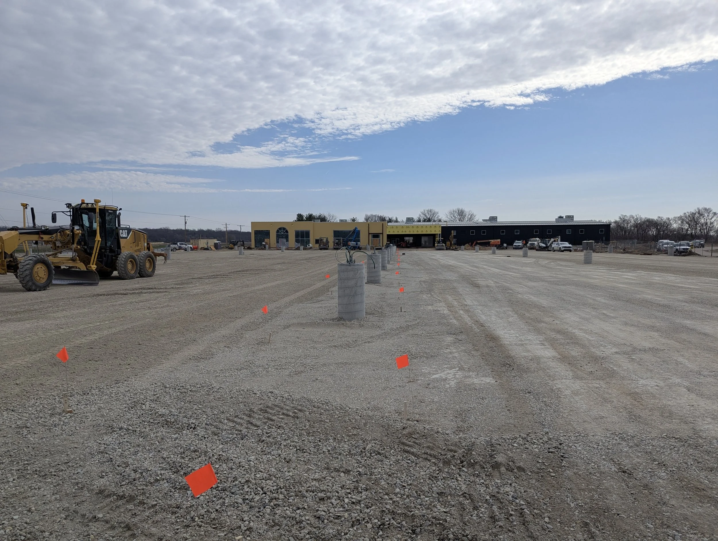
Construction staking
Boundary descriptions
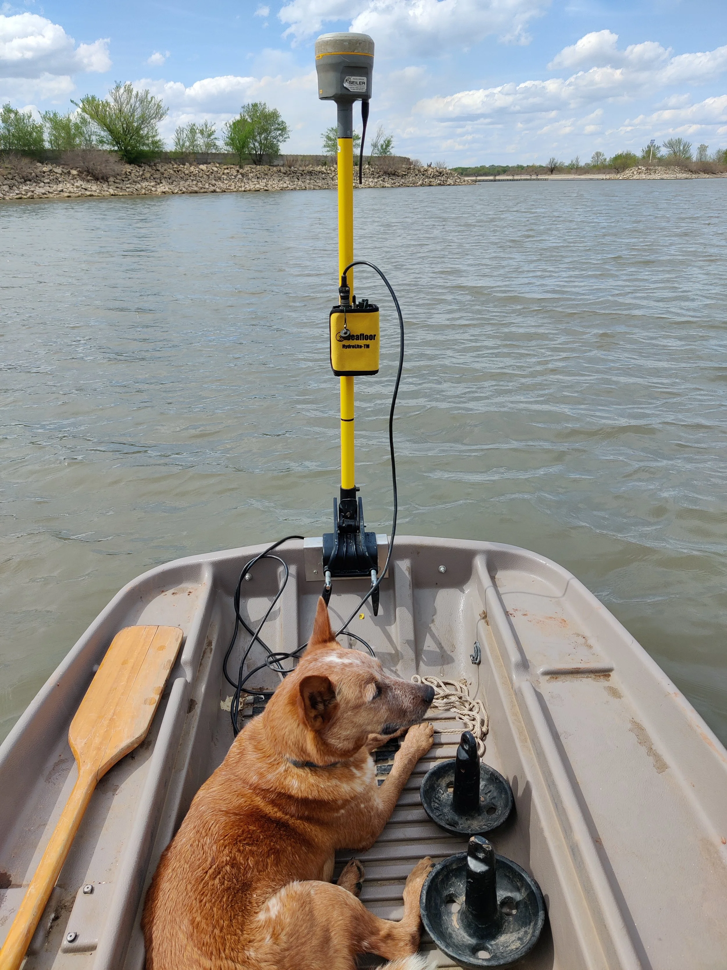
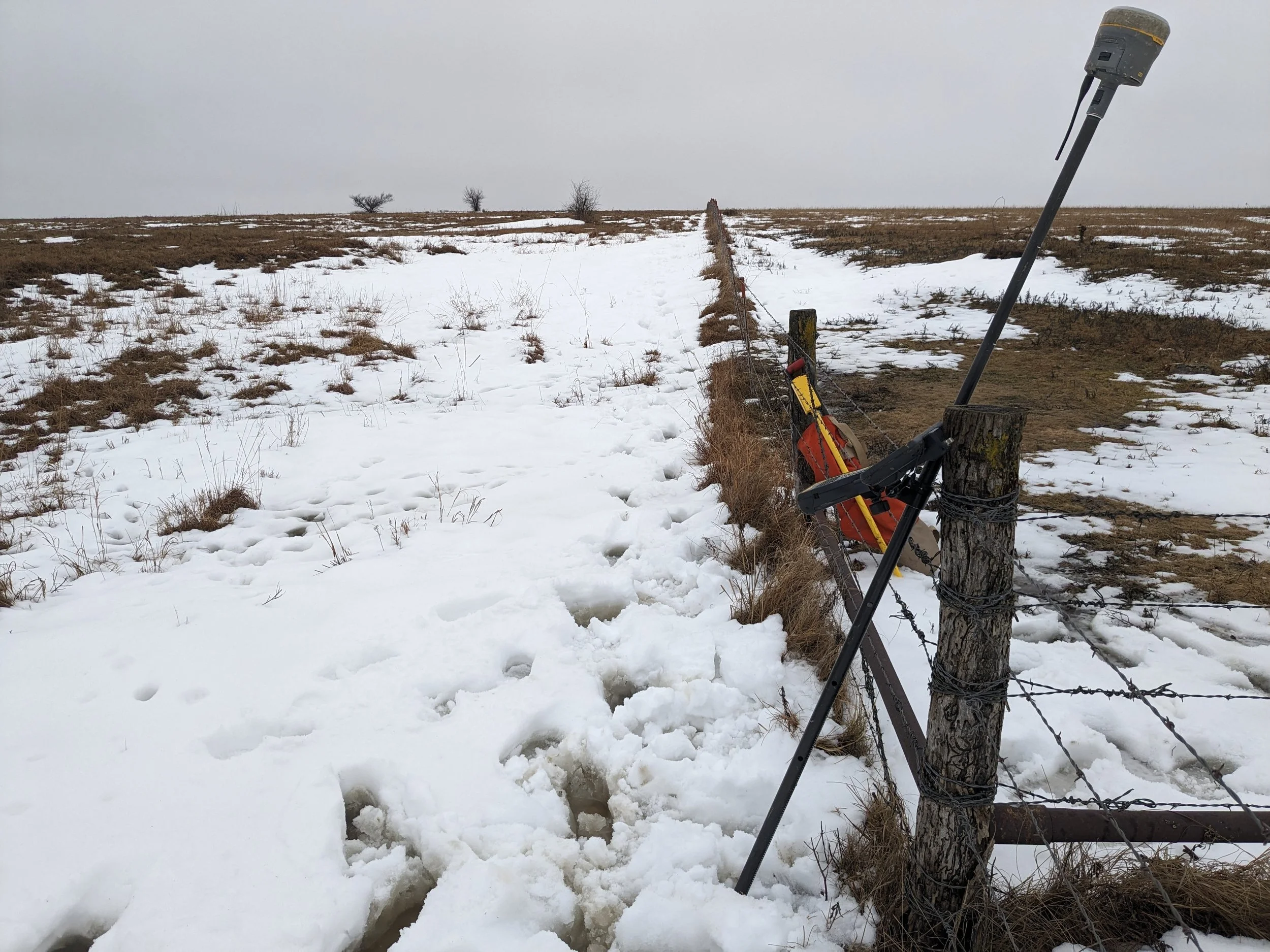
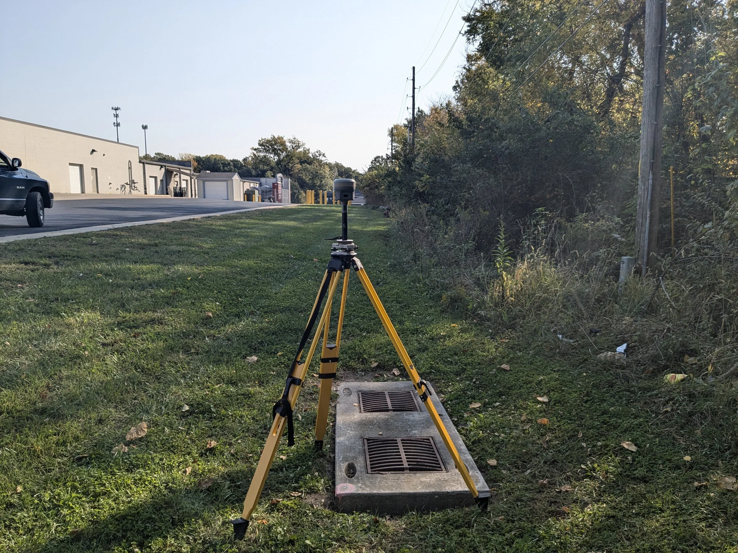
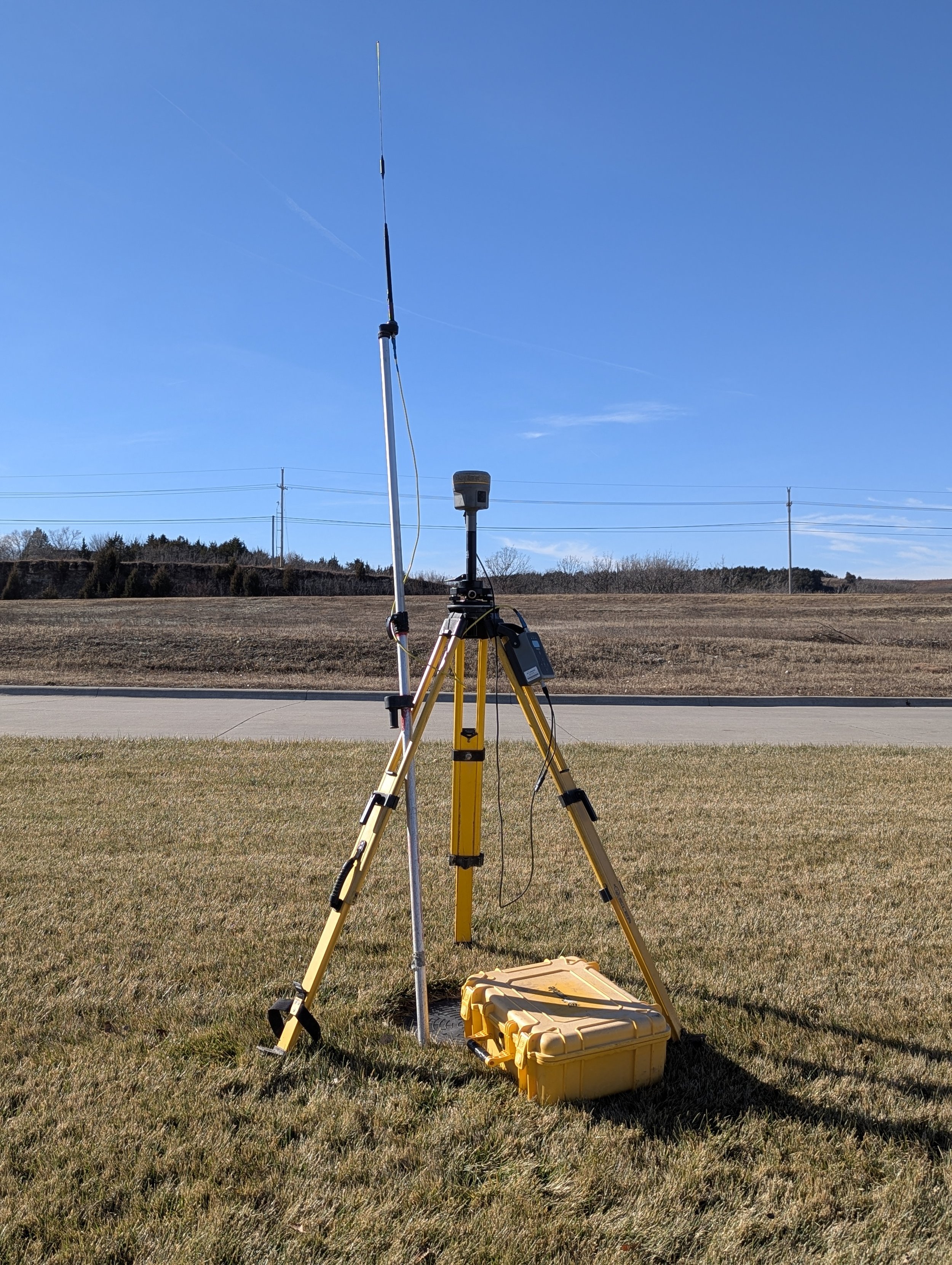
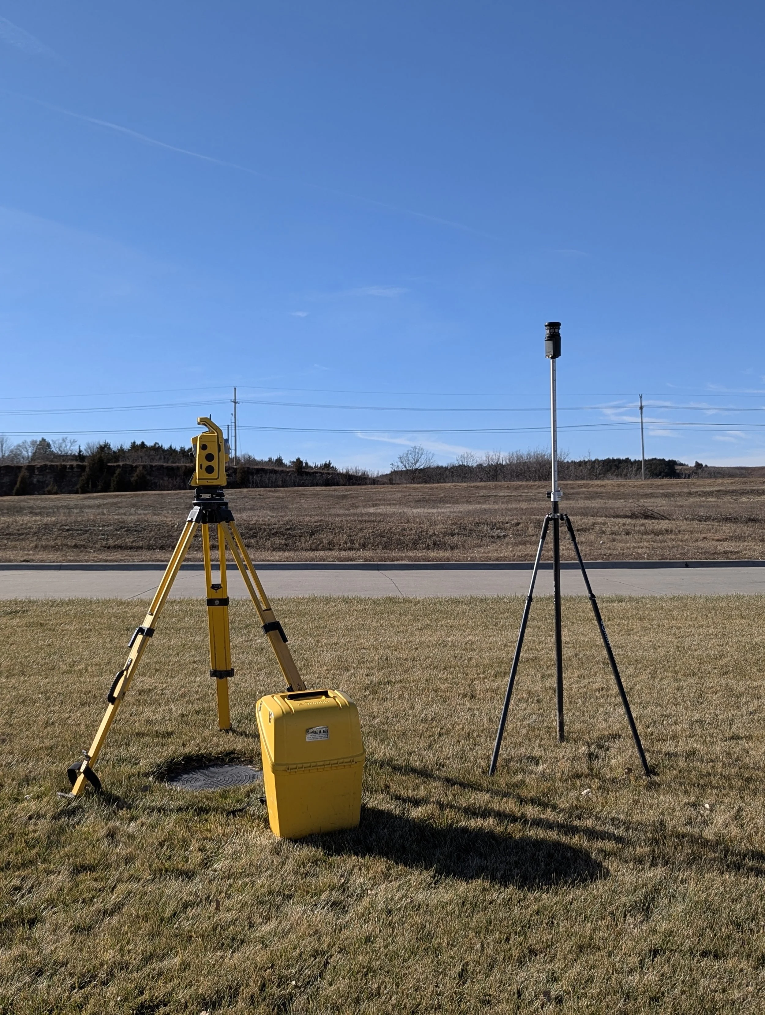
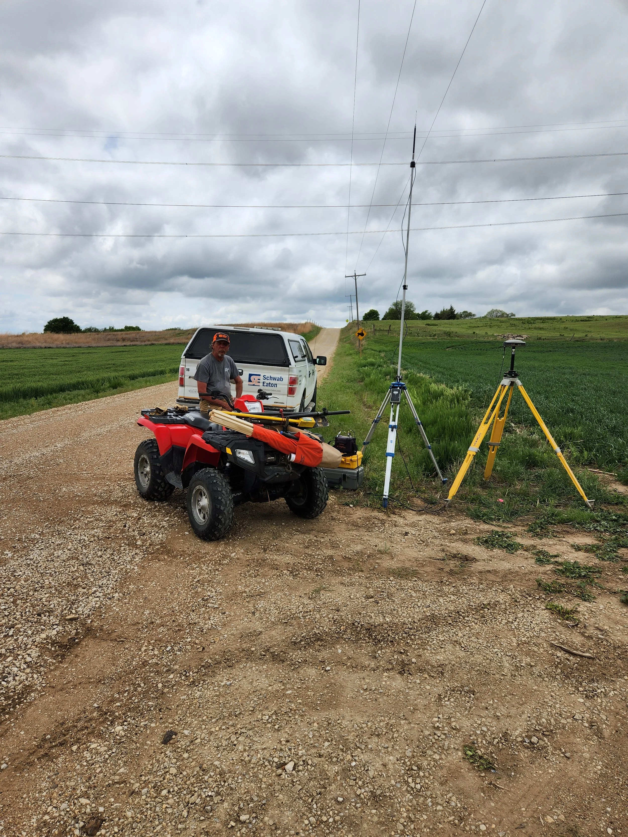
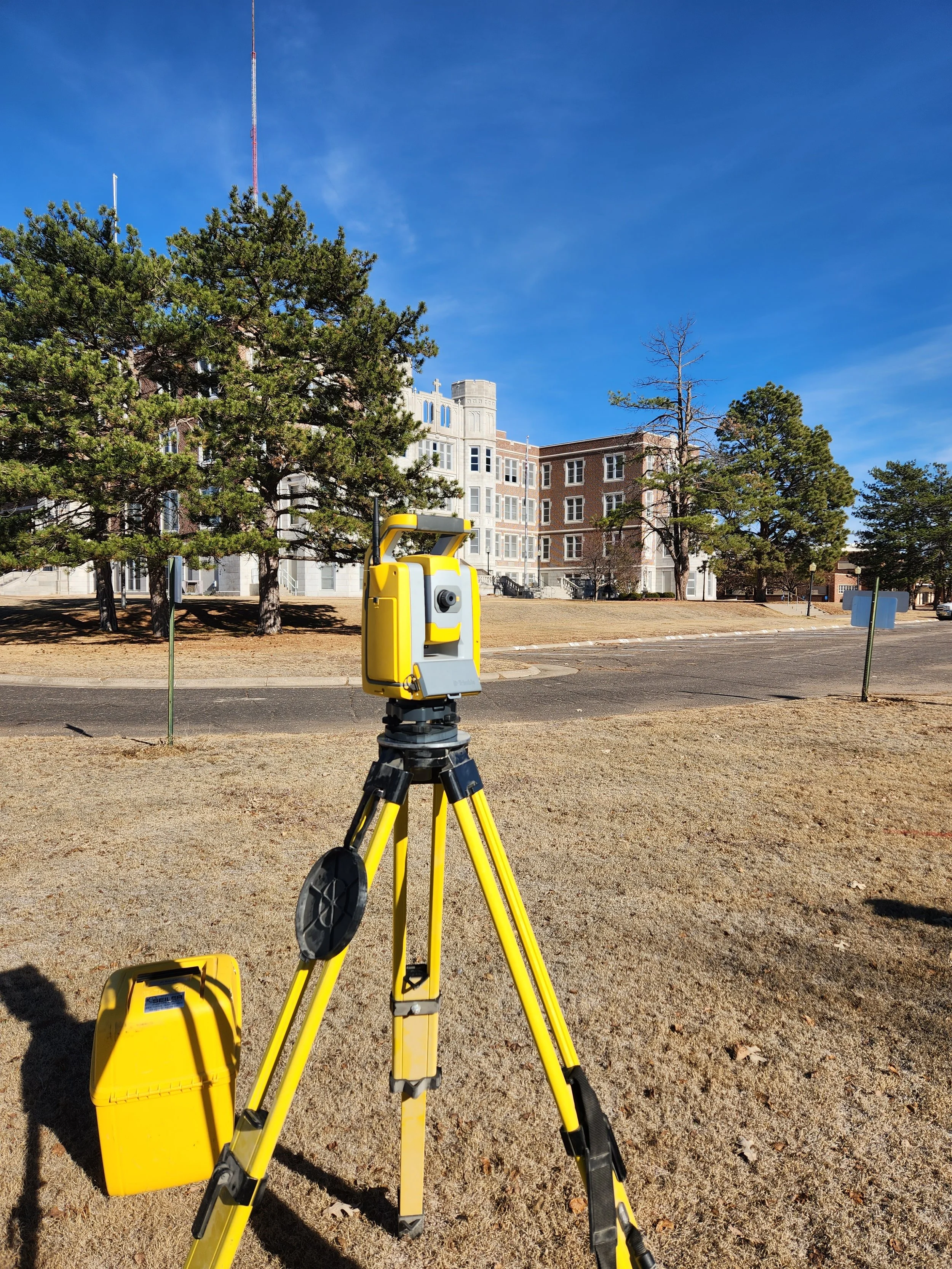
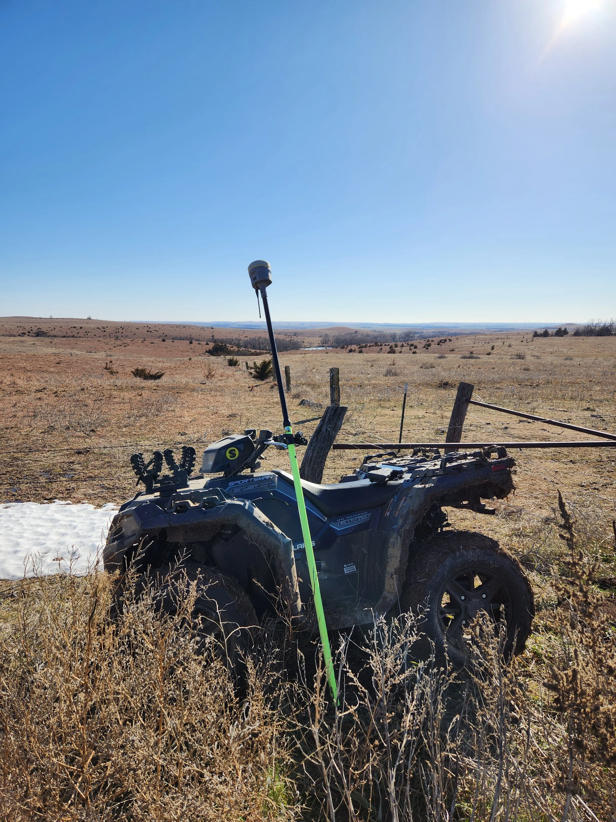
Our survey crews utilize highly precise total station measuring instruments and Global Navigation Satellite System (GNSS) equipment that provide us with the most productive survey tools available.